Kilbrittain Castle seen from the North (present day main entrance), atop the hill from the South, then from the North West through the old Church and Graveyard and finally the ruined lodge house, or sentry post (of which there are two) at the former entrance to the Castle from the South. The Castle is thought to date from 1035 where the original fortress may have been built by the O'Mahony Clan. Known to have been in the hands of de Courceys and possibly extended in the 13th Century, Kilbrittain Castle is said to have been the principal seat of MacCarthy Reagh from the early 15th century. The Castle was extensively restored and enlarged by the Stawell family in the 18th and 19th centuries, it was partially burned in 1920 and restored in 1969 by inventor Russell Winn. Kilbrittain Castle is now the home of the Cahill-O'Brien family.


The ruins of Kilbrittain Church, thought to have been intact and possibly still in use around 1615, although in ruins by 1699. The church is situated North East of Kilbrittain village in a rectangular graveyard on a South facing slope, the graveyard is still occasionally used. The ruined church and graveyard overlook the village to the South West where the present day RC Church can be seen in the background.


The first image is taken from Kilbrittains amenity park looking West. The second is taken from a hilltop West of Gortnahorna House, the chimneys of the Gortnahorna ruin are visible to the bottom of the picture, the restored lodge house is seen beyond. The R603 leads to Kilbrittain Village to the South East and continues to the meet the Atlantic ocean at Harbour View. Kilbrittain Castle is just visible beyond the ploughed fields to the East. The other images are taken from the old church and show the village in the shelter of the valley to the South West.


Barleyfield Corn Mill is about 1.5km North of Kilbrittain village on the R603, the three storey building with slate roof is L-shaped in plan with four bays. The first image is of the upper portion of the southern gable, the second image also on the southern gable shows the overshot cast iron waterwheel, made by Perrott of Cork, still sitting in the wheel pit which is about 1.6m in width. Water was fed over the wheel from left to right. There are two millstones on the first floor, the lower one being stationary the upper one was probably driven via a vertical metal shaft from the ground floor, the shaft is still in position with cogs visible at ground level.
The current owner worked the mill from circa 1940 to 1960 using a belted system that powered a Bramford Rapid Roller Mill and Turner Grinding Mill on the first floor. There is a grain drying kiln on the ground floor to the North West end of the mill, the third image shows the entrance to the kiln where some of the floor and rear walls are hewn out of natural rock. The walls and ceiling of the kiln are made of a series of perfect stone arches forming a walkway around the fireplace in the centre. The fourth image depicts the remains of a sluice gate at Maulmane Bridge circa 0.5km North of the corn mill, about half of the man made mill race between sluice gate and mill remains.


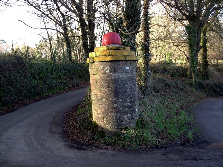
The ruins of Gortnahorna House situated about 1km North West of Kilbrittain village on a South East facing slope. This two storey country house also had cellars and it was L-shaped in plan with approx seven bays. The second image shows the tall distinctive sidelights to the left and right of the main entrance doorway and first floor windows. The remains of a fireplace on the first floor can be seen left of centre. Apparently the house was burned during the War of Independence about 1920 and subsequently restored. Sometime around 1940 Gortnahorna House was stripped of its slate, stone and glass and thus began its fall into ruin. On the third image are the remains of some out offices, most likely stables, and finally the well preserved "Round Pillar", which once adorned the entrance to Barleyfield Estate.


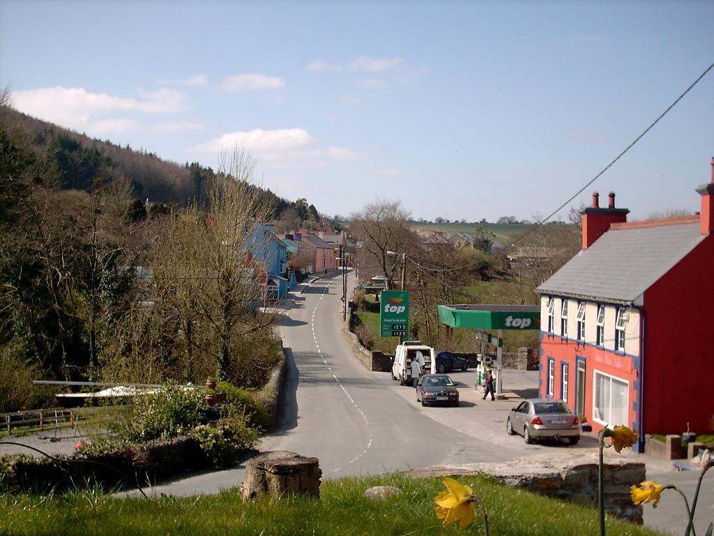
The charming Dower House stands sentry through time on the Eastern end of Kilbrittain village.


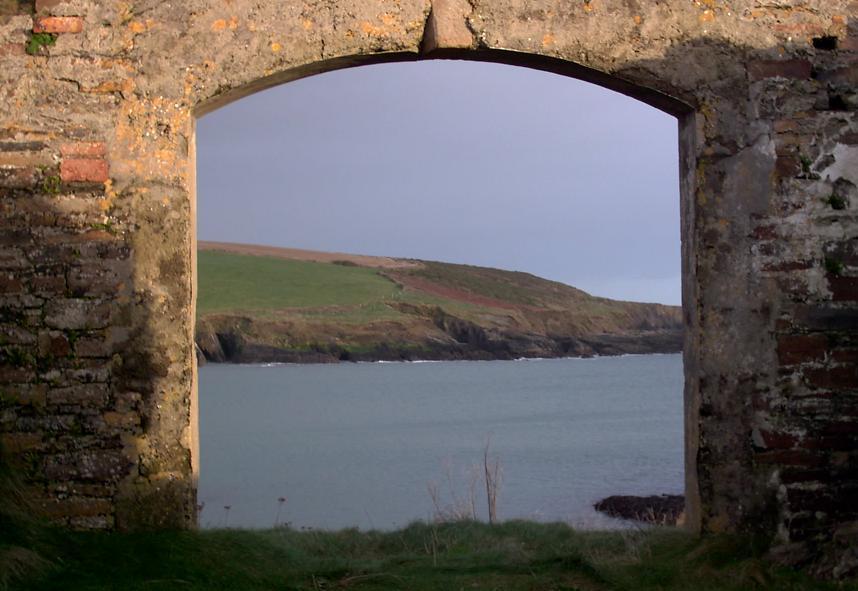
Clouds gathering in from the Atlantic over Courtmacsherry Bay, first pictured from a point East of Howe's Strand, looking westward towards Courtmacsherry village, inlets to Howe's Strand and Harbour View just beginning on the right. The second image looking eastward across the bay to the Old Head of Kinsale. Finally the sun setting over Broad Strand and Quarry Point.


Howes Strand Coastguard Station House now in ruins is still an imposing structure as it stands watch over the strand and wider Courtmacsherry Bay beyond. The third and fourth images are taken from what are thought to be the remains of the old boat house, or houses, as the latter would seem to be a much older structure.


Looking South across Howes Strand to the ruins of the old boat house and from the boat house across to the Old Head of Kinsale.


Two earthen banks are all that remain of this Costal Promontory Fort in Rochestown, situated about 1km east of Howe's Strand and protruding South into Courtmacsherry Bay. Generally thought to date from the Iron Age, the two banks would have defended the cliff headland from the mainland, the cliffs under the fort have slowly succumbed to the battering Atlantic seas. To the South East across the bay is the Old Head of Kinsale.


Twenty to three on an overcast afternoon at Rathclarin Church, Kilbrittain, and the restored Trinity Well at Rathclarin.
Paddy Shiels, 2004-2007.